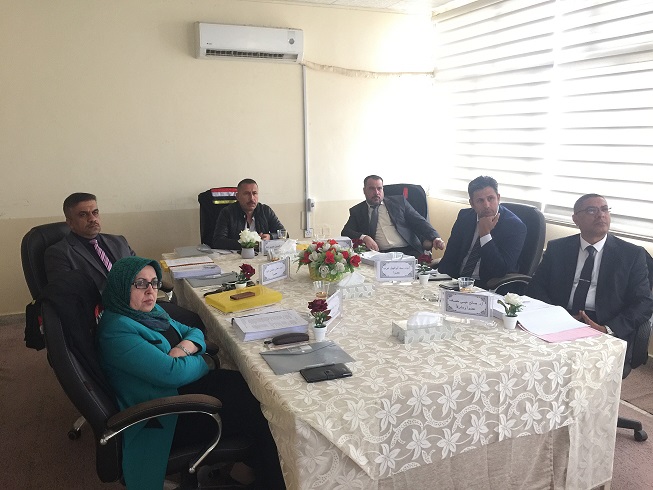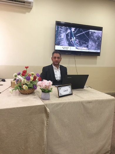
Doctoral thesis research in the Department of Civil Engineering / College of Engineering, University of Basrah (Modeling of Sediment Result of the Euphrates River Basin based on Geographic Information Systems) by Ali Hussein Jaber Al-Ramahi
The thesis dealt with preparing a map showing the average annual soil erosion by modern technical methods, as the study area included the Euphrates River basin for seven governorates. ) along the course of the flow, such as a dam or a regulator
The map of the Jabiya land cover for the years 2013 and 2017 was predicted based on the Standard Vegetation Variance Index (NDVI) map, which showed that 92% of the Jabiya total area is desert land. The erosion factor (R) was calculated based on data for thirty-one measuring stations spread over the specified years. There are small areas of the sine that have a modulus value of more than 500 .
The study also showed that the average annual soil erosion of the Jabiya ranges from 0 to 2610.47 tons / hectare in 2013, while for 2017 it ranged from 0 to 2995.614 tons / hectare. Other types of soil erosion were found, such as moderate to very high in the course of the river.
The retention efficiency (TE) of a hypothetical case for constructing a barrier such as a regulator or a dam in the Shatt al-Arab stream was found equal to 29% and 27.7% using Borland and Julian rates.


